SpatialGen Scenes
Turn ordinary intelligence into 3D worlds, ready to enter.


Trusted when details matter.

U.S. Air Force
Feedback
“No material weaknesses.”
“SpatialGen improves the speed and quality of spatial intelligence.”
Air Force Civil Engineering Center
The appearance of U.S. Department of War (DoW) visual information does not imply or constitute DoW endorsement.
Law enforcement
Live 3D reconstruction.
Realtime 3D measurements and targeting from operational video.
Satellite imagery
From orbit to spatial awareness.
Transform 2D satellite imagery into 3D maps within minutes.
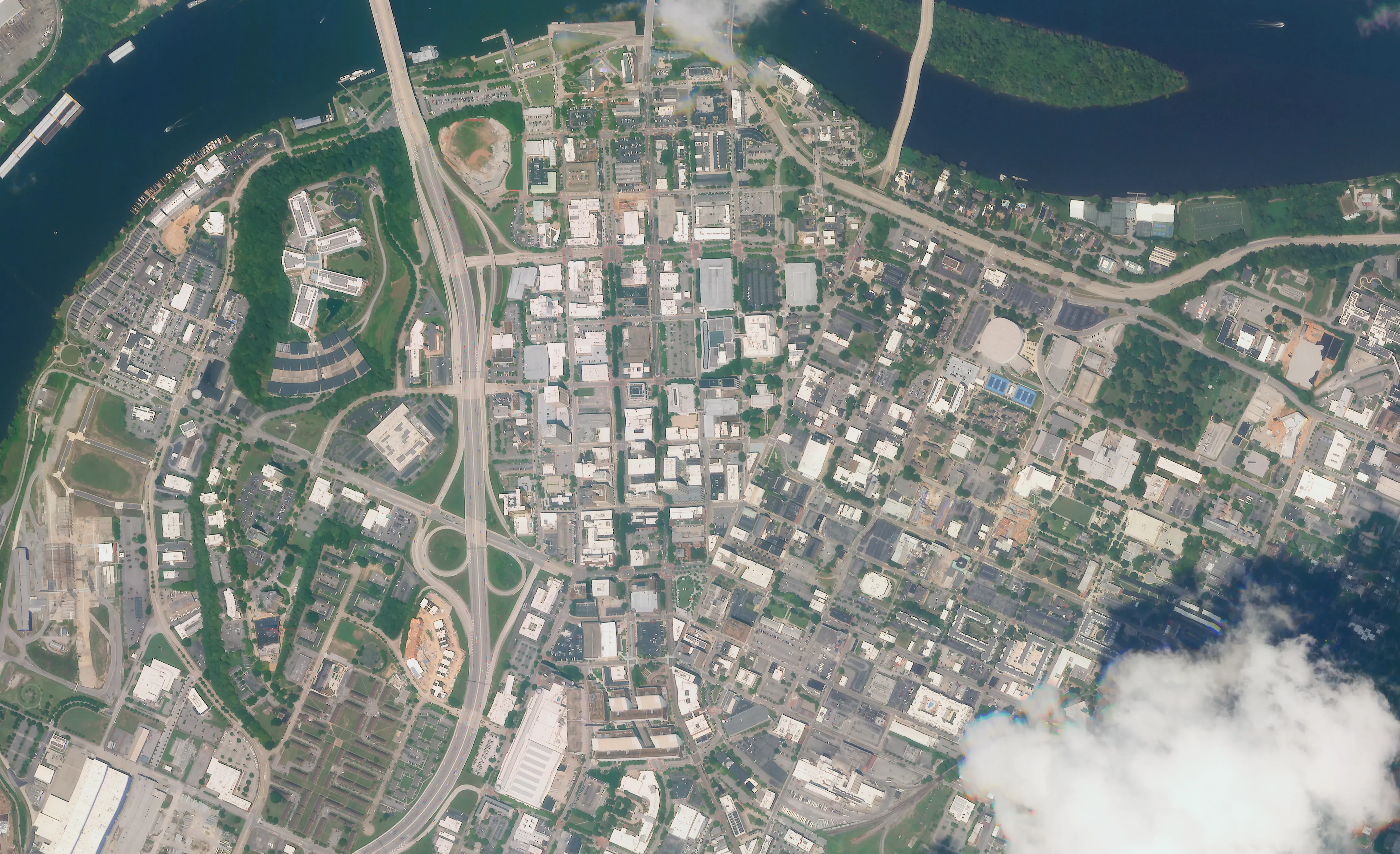
Powered by SATELLOGIC © 2026
SpatialGen API
Build military-grade 3D into your product.
Send anything from an iPhone video to a 360 drone to SpatialGen and get back a 3D reconstruction.
API workflow
- 01IngestVideo or satellite imagery
- 02Process3D reconstruction
- 03DeliverWeb, mobile, or VR/AR